Beit Zayit Dam
סכר בית זית
About
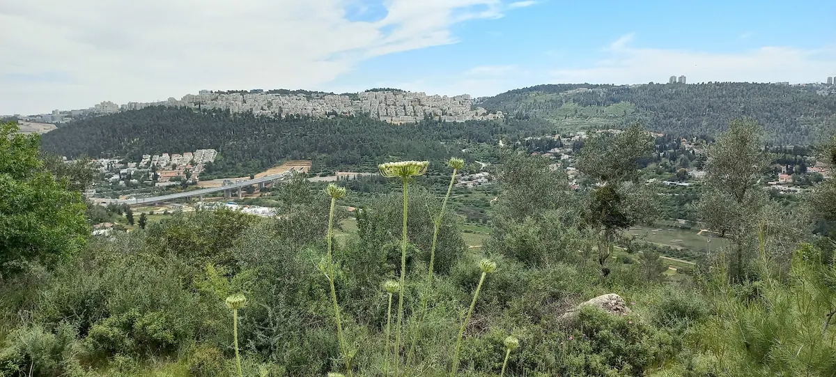
All information about the Beit Zayit Dam in the south of the Motza Valley, on the banks of the Shorak Stream, was established in the 1950s by the Beit Zayit Reservoir—one of the largest water facilities of those years. The goal was to store the floodwaters, allow them slow percolation into the groundwater, and enrich them. Only after it was built, reaching a surface height of 180 m and a height of 24 m, did it become clear that the goal could not be achieved due to incorrect elevation differences, which led to water flowing in the opposite direction from what was planned. The historical mistake turned the dam into a special scenic spot for the area and for hikers around Jerusalem, especially after a rainy winter. The rainwater that arrives from the Shorak Stream in the Jerusalem Hills makes its way to the dam and creates an artificial lake. The waterfall formed by the elevation differences crashes into the reservoir with great commotion. Around it are the lush landscapes of the Jerusalem Hills, and the result—an artistic, postcard-like image. Want to see the valley and the reservoir from above? You can jump to the "Sofiel" (bench) viewpoint in Mevaseret Zion. " Beit Zayit Reservoir | Photo: Liraz Shefer In late winter and in spring, the scenic road leading you to the reservoir is dotted with cyclamen and anemone blossoms. Bring a mat, a picnic basket, and a coffee thermos pack (פק"ל), because this is one of the most pastoral places in the area where you can enjoy a picnic with an "abroad" atmosphere. How do you hike here? Park the car near the entrance to Motza Tachta, and begin walking with the bike path that will take you under the bridge of Route 16. Along the way, comfortable seating areas were arranged where you can stop to admire the view and the mind-blowing seasonal blossoms. The road is paved along its entire length, so you can also tour here with bicycles, baby strollers, and wheelchairs. Cyclamens under Route 16 | Photo: Si Kedem The amount of water in the reservoir varies from year to year and between seasons. After years rich in rainfall, the reservoir will continue to be full for many months ahead; in dry years, it's possible that only a small amount of water will remain there. After about two kilometers, we'll reach the dam itself. Those who want can return at any stage using the path they came on in order to get back to the car. Another option is to continue hiking further forward, and a little after the dam begin ascending to the left until you connect to a green-colored trail that will take you up to the picturesque Ein Kerem neighborhood. Useful information Entry to the water is forbidden and dangerous—the reservoir water also contains wastewater. The walk from the northern parking lot located near Motza to the dam is about 2 km on a comfortable road. Watch the story of travel blogger Amit Huber who visited the place:
Tags
More activities in Jérusalem
Need help planning your activities?
Our French-speaking team helps you plan your stay in Israel, with personal advice, reservations and transfers.