Givat Hateitorah in Modi'in
גבעת התיתורה במודיעין
About
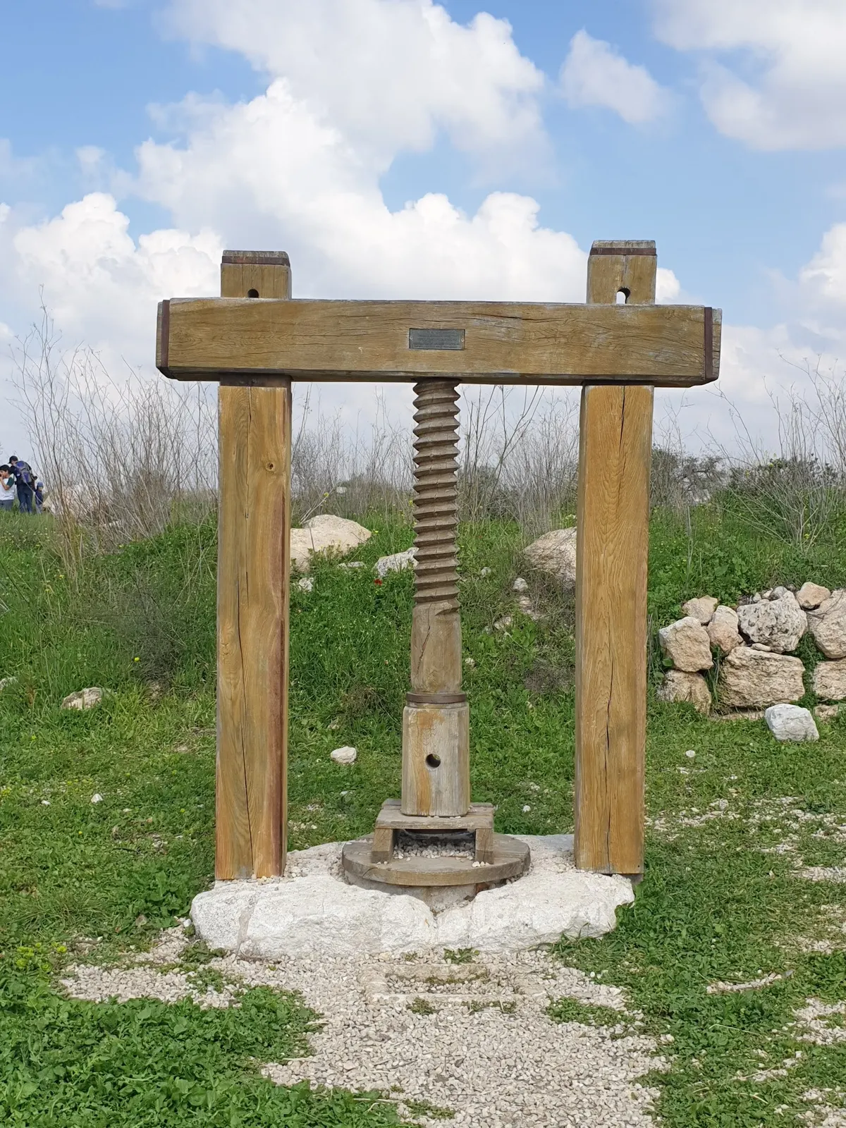
All the information about Tell Tithora in Modi'in, near Highway 443, in the northeast of the city, at an elevation of 315 meters above sea level, is home to an ancient mound that has become a pilgrimage focus thanks to seasonal blooming and panoramic views. Meet Tell Tithora, which spans 600 dunams between Prof. Yair Perag Street to the east, K'lal HaYores Street and Emek Dothan Boulevard to the south, Emek Ayyalon Boulevard to the west, and Highway 443 to the north. The hill was not always called Tithora. The Crusaders called it Trenta, the Arabs called it Qal'at at-Tantura, meaning a pointed hill or Al Burj, that is—the fortress, and Burj al-Habib. So how did the Hebrew name Tithora come about? Through the decision of the government Names Committee, which preserved the sound of the name and the meaning of the Arabic name—remember? A pointed hill. Vegetation on Tell Tithora The flourishing hill features many orchard trees, including almond, olive, fig, and pomegranate, ornamental trees, and cactus. There is herbaceous and shrubby Mediterranean scrub and wildflowers such as cyclamens, anemones, Iris of the Land of Israel, squills, and many others. And why is the hill so rich in plant life? Some say the answer lies in the soil, rich in organic matter, in the many layers of the ancient mound and in numerous water cisterns within it that collect much runoff, allowing the earth to remain moist. A walk on the southeastern and eastern slopes will reveal different vegetation resulting from differences in sunlight exposure. Life on the hills also includes insects, mammals, reptiles, and birds, and if you're lucky, you may encounter a flock of sheep grazing in the meadow. Tell Tithora blooms | Photo: Ela Yaakov History and archaeology, briefly Nearly 6,000 years of continuous settlement followed at the site, from the Chalcolithic period, through the Bronze, Iron, Persian, and Hellenistic periods including the Hasmoneans, the Roman, Byzantine, the early Islamic, the Crusader–Ayyubid, the Mamluk, and up to the Ottoman period. Some claim that Tell Tithora is actually ancient Modi'in. No wonder it is considered the main ancient site in the area. In the past, Tell Tithora stood at the center of two important routes that connected the coastal plain with Jerusalem. In addition, more than 100 water cisterns were found there. Researchers concluded that in some periods the mound served as a transit station for pilgrims traveling to Jerusalem. On the eastern side of the hill, flint tools, pottery sherds, and tools, as well as a figurine of a lyre from the Chalcolithic period were found. Near the water pool—a courtyard structure and various agricultural installations and domestic utensils from the Iron Age. In caves on the eastern side of the hill, pottery from the Middle Bronze Age and from the Early Bronze Age was found; and in caves on the western side of the hill—pottery from the Iron Age. In addition to pottery from other periods, a mikveh, hiding systems from the Bar Kokhba revolt, coins, burial caves, remains of oil presses and winepresses were exposed. In the western dome of Tell Tithora there is a farmhouse, part of whose floor is made of mosaic, and at the summit of the hill—remains of a fortress. Even during World War I, Tell Tithora played a key role. The fact that it overlooked two ancient roads enabled the British to transfer supplies to the frontline forces, assist the Australian and Scottish forces, and prevent the Turks from taking control of Burj al-Burj'. In the War of Independence, the hill was part of Operation Dani, which set the border of the State of Israel in this sector. A battle between Yiftach Brigade forces and Jordanian forces under the command of British officers ended in a resounding victory for the fighters of Platoon G' of the Third Battalion of the Yiftach Brigade. This was the battle in which the Jordanian Legion suffered the greatest casualties during the entire war. At the foot of Tell Tithora, in the southern part of the hill, between Ofek School and Prof. Yair Perag Boulevards in Emek Dothan Boulevard, the Modi'in municipality established the Yiftach Brigade Park. There, explanatory signs describing the battle details are displayed, accompanied by photos. The point overlooking the entire battlefield can be seen from the summit of Tell Tithora, near the ruins of the Crusader fortress, where an explanatory sign is also posted. Trails on Tell Tithora Flower Trail: starts at the Holmes Place intersection, crosses the southern slope, and connects to the main dirt road. The trail climbs to the hill from the northeast. A trail starting at "Grove of the Nations" climbs to the area of the water pool. It begins in the south and connects Emek Dothan Boulevard, from the area near the Levinsky Center shopping center, to the pergola located in the middle of the Flower Trail, and from there continues to the parking lot near the water pool. North–west trail, near Emek Ayyalon Boulevard, near Modi'in-Center. Bicycle trails: the Flower Trail, the path from the parking lot near the water pool to the Levinsky Center shopping mall, and also from the parking lot to the intersection of the roads—Emek Dothan Boulevard and K'lal HaYores Street (Holmes Place intersection). Riding bikes on Tell Tithora: Notice: On Tell Tithora there are open pits and there is a risk of falling into them—walk, drive, and ride only on the marked trails. Any deviation from the trails is the sole responsibility of the hikers only!
Tags
More activities in Jérusalem
Need help planning your activities?
Our French-speaking team helps you plan your stay in Israel, with personal advice, reservations and transfers.